Unveiling the Power of CAD in Urban Planning and Landscape Architecture
In the realm of urban planning and landscape architecture, the adoption of cutting-edge tools has revolutionized the way professionals conceptualize, design, and bring to life vibrant urban spaces and picturesque landscapes. At the forefront of this transformation is Computer-Aided Design (CAD), a dynamic tool that has become a game-changer in seamlessly integrating creativity with functionality. This exploration delves into how CAD tools are pivotal in urban planning and landscape architecture, facilitating site analysis, design visualization, and master planning to shape the future of our cities and natural environments.
Bridging Vision and Reality
Navigating Complex Urban Landscapes
Urban planning involves intricate spatial considerations, and CAD tools serve as the bridge between visionary concepts and practical implementation.
Site Analysis and Data Integration
CAD’s prowess lies in its ability to assimilate diverse data sets, from geographic information systems (GIS) to topographical data, enabling comprehensive site analysis.

Designing for the Future
Mastering Visualization
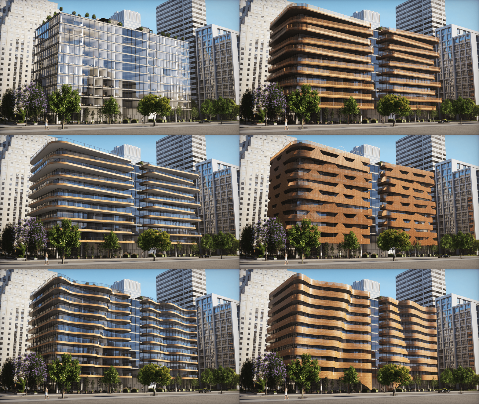
CAD empowers urban planners and landscape architects to create highly realistic visualizations, enabling stakeholders to envision the final design with precision.
Green Spaces and Sustainable Design
With CAD tools, designing green spaces becomes a meticulous process, integrating sustainable elements like rainwater harvesting, native plantings, and energy-efficient lighting.
Enhancing Collaboration
Stakeholder Engagement
CAD tools facilitate collaboration between professionals, stakeholders, and the community, fostering a shared vision for the urban environment or landscape.
Interactive Presentations
By utilizing CAD-generated 3D models, urban planners and landscape architects can deliver captivating presentations that engage audiences and communicate design intent effectively.
Streamlining Regulatory Approvals
Compliance and Regulations
CAD tools enable professionals to create designs that adhere to zoning regulations, building codes, and environmental requirements, expediting the approval process.
Visual Impact Assessments
Urban planners and landscape architects can employ CAD to assess the visual impact of proposed designs on the urban fabric, aiding in decision-making.
FAQs: CAD for Urban Planning and Landscape Architecture
In Conclusion
Urban planning and landscape architecture are dynamic fields that shape the environments in which we live, work, and play. The integration of CAD tools in these disciplines has opened up new avenues of creativity, precision, and collaboration. From intricate site analysis to stunning visualizations, CAD has become an indispensable tool for urban planners and landscape architects, enabling them to bring their visionary designs to life. As cities evolve and landscapes transform, CAD remains a constant companion, empowering professionals to build sustainable, functional, and aesthetically pleasing urban spaces that stand as testaments to human ingenuity.

